
Villa O’Higgins Ranches
Exuberant natural beauty, untouched land, upper border with state-owned lands. Possibility of applying to increase the number of hectares at a very low cost.
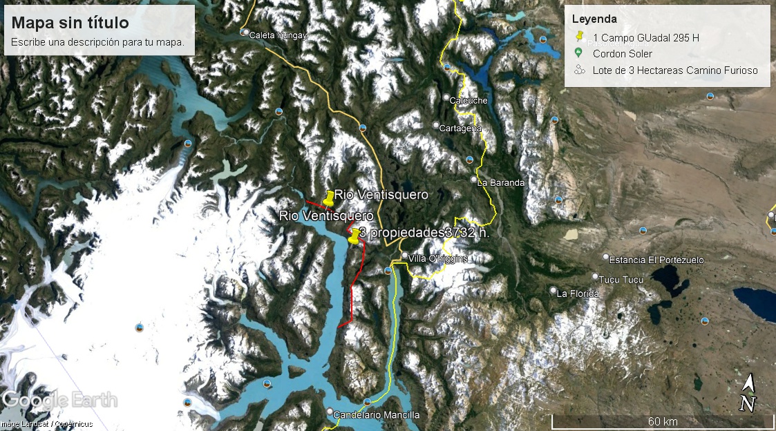
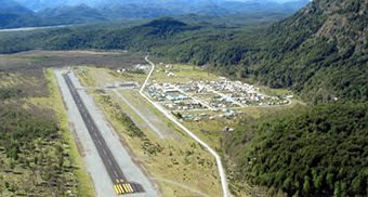
The property is located near the following urban centers: Villa O’Higgins (in its immediate vicinity) and Lago Cochrane to the north. Both are accessible by land (Carretera Austral) or by air, and both towns have all basic services.
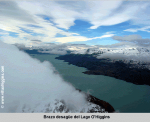
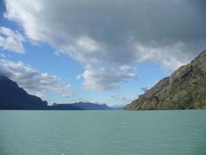
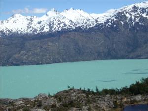
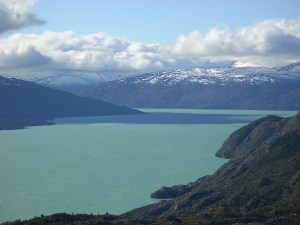
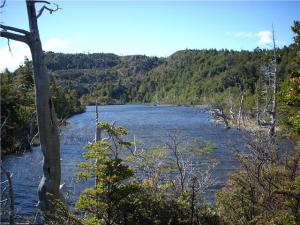
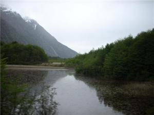
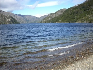
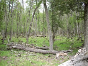
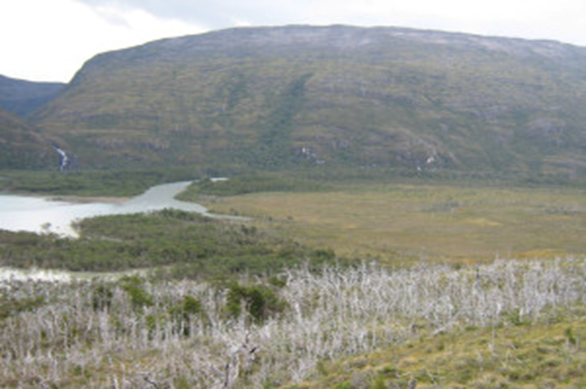
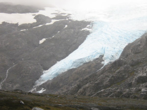
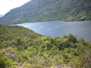
The properties have kilometers of shoreline along Lake O’Higgins, rivers, small interior lakes and/or lagoons, glaciers, waterfalls, and virgin forests. The flora predominantly consists of: Guaitecas Cypress, Magellan’s beech (coihue de magallanes), Chilean firetree (ciruelillo or notro), calafate, murtilla (Chilean guava), and other species characteristic of the area.
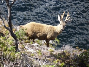
Fauna: Huemuls (South Andean deer), culpeo foxes, Andean condors, bustards, ash-breasted geese (caiquenes), wild ducks, hares, pumas, and skunks (chingues).
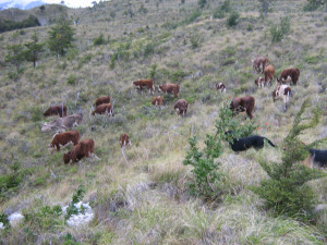
Beyond its potential for conservationist, ecological, and/or tourism purposes, these properties were traditionally worked (until a few years ago, and remain in this condition) in a rustic manner for raising cattle and sheep based on the Patagonian method of invernadas (wintering grounds) and veranadas (summer pastures). (The state grants various benefits in the area: Southern Law [Ley Austral], SAG subsidies, CONAF, INDAP, Municipality of Villa O’Higgins, among others).
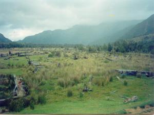
Soil: Productive scrubland and flora, mallines (wet meadows), vegetative covers, protection lands, bodies of water, and state mountain ranges with eternal snow or ice.
ACCESS FROM VILLA O’HIGGINS: Access is via land and lake.
Land route: Approximately 4 hours on horseback or on foot from Villa O’Higgins, along a trail (Sendero de Chile) that borders the Mayer River, with views of Lake Ciervo, Lake Cisne, and Lake Pinachos with their eternal snows. You pass through natural obstacles typical of a rugged topographical formation; crossing rivers, lagoons, waterfalls, and native forests. The trail continues through a mountain gorge or pass, reaching the Río Engaño or Lake O’Higgins property. From there (following existing trails along the lake’s shoreline), if you head south, you arrive at the Península la Florida property, and if you head north, you reach the Luna Cautiva or Río Ventisquero property.
Lake route: From Villa O’Higgins, you navigate departing from Puerto Bahamondes (located on Lake O’Higgins, Villa O’Higgins) on local vessels. You skirt the Península la Florida along the northeast arm of Lake O’Higgins, and then continue along the outflow arm of the same lake, arriving in a couple of hours (or less, depending on the vessel) to the Taitao sector (the beginning of the Península la Florida property).
VILLA O’HIGGINS TOWN, XI REGION
1.- Río Engaño or Lake O’Higgins Property, 492 hectares.
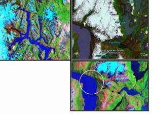
Lake O’Higgins Property, located on the shores of the outflow arm of Lake O’Higgins, covering 492 hectares, divided into two lots:
a) 167.5 hectares
b) 325 hectares
Boundaries:
North: State mountain ranges, Toro River,
South: Unnamed stream and State mountain ranges,
East: State mountain ranges,
West: Lake O’Higgins.
2.- Península la Florida Property, 1,465 hectares.
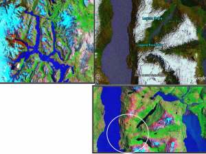
Península la Florida Property, located on the eastern shore of the outflow arm of Lake O’Higgins, Taitao peninsula sector.
Total Area: 1,465 hectares.
Boundaries:
North: State mountain ranges, unnamed stream flowing into Lake or Lagoon Negra, separating it from the Lake Negro or Lagoon Negra property, and State mountain ranges,
South: State mountain ranges,
East: State mountain ranges,
West: Lake O’Higgins.
3.- Luna Cautiva or Río Ventisquero Property, 1,775 hectares.
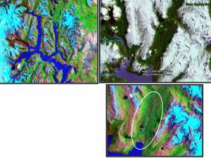
Luna Cautiva or Río Ventisquero Property, located in the valley of the bay of the same name, on the shores of the outflow arm of Lake O’Higgins (the property is completely flat):
Total Area: 1,775 hectares divided into two lots:
a) 1,136.5 hectares
b) 638.5 hectares
Boundaries:
North: State mountain ranges, Ventisquero River,
South: Lake O’Higgins and Picota River,
East: State mountain ranges and Picota River,
West: State mountain ranges.